

Tour
Appalachian Legends
Twelve of the best-known driving roads in the southern Appalachians — the Dragon and its neighbours across North Carolina, Tennessee and Virginia.
12 drives · 359 miles total
 Editor's Pick
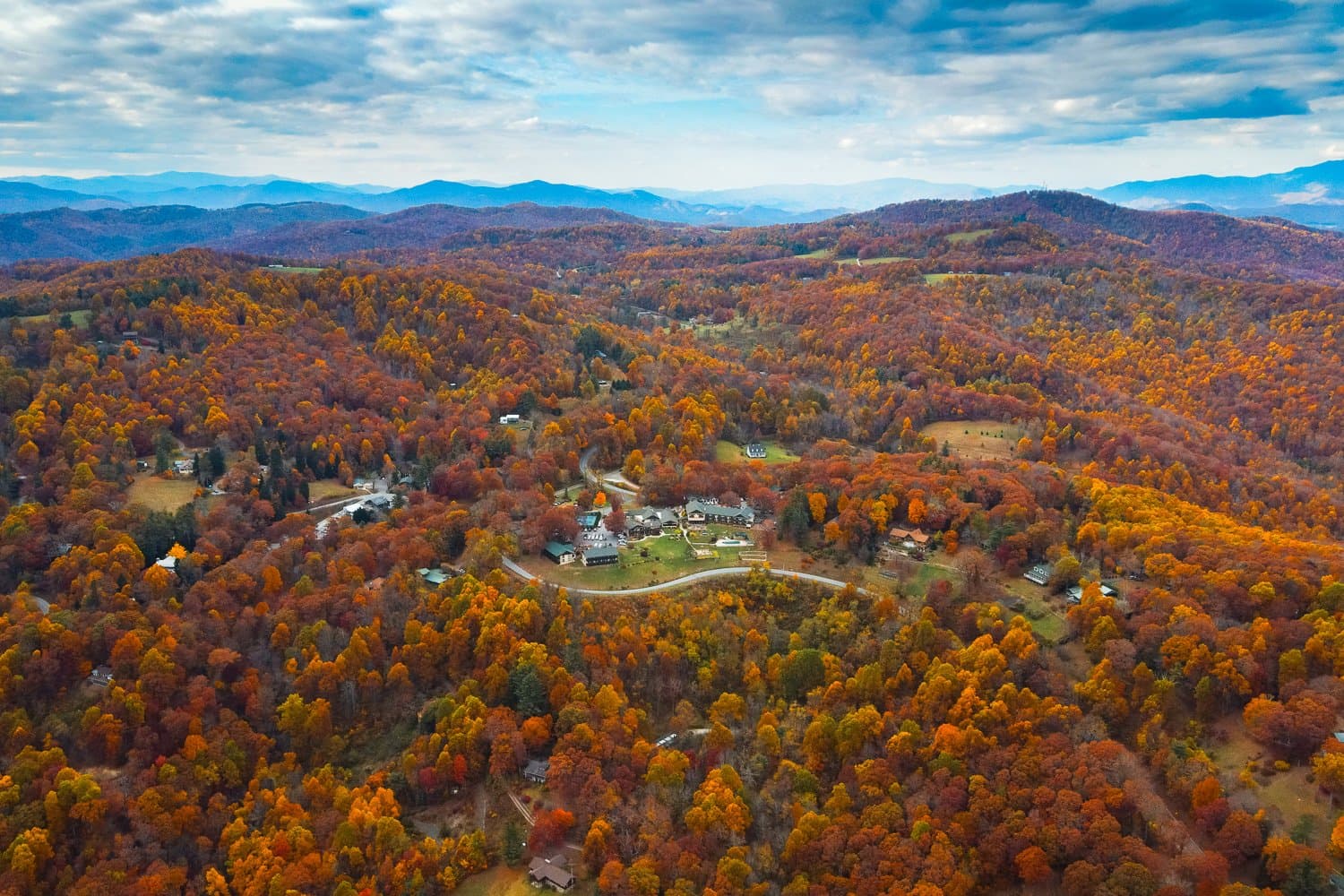
9 mi · Little Switzerland
Diamond Back Loop
Densely wooded trek, from Marion in McDowell County to Little Switzerland, on the edge of Mitchell County, NC at Milepost 334.
 Editor's Pick
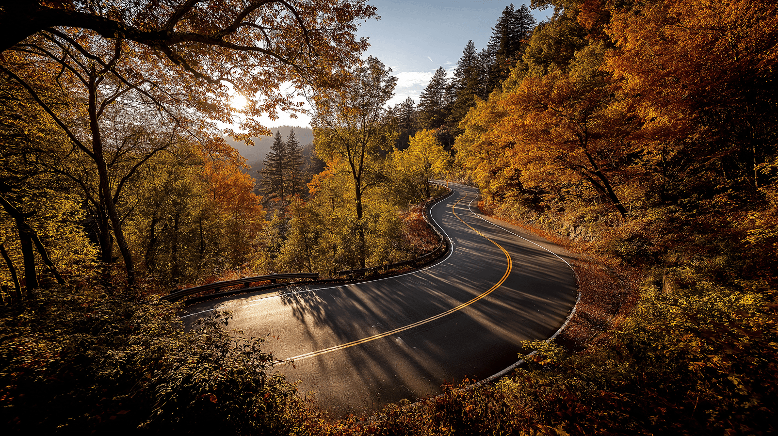
11 mi · Tallassee
Tail of the Dragon
Winding along US 129 where the Great Smoky Mountains meet the Cherokee National Forest, this iconic stretch offers a pure driving experience: no intersections—just you and the road.
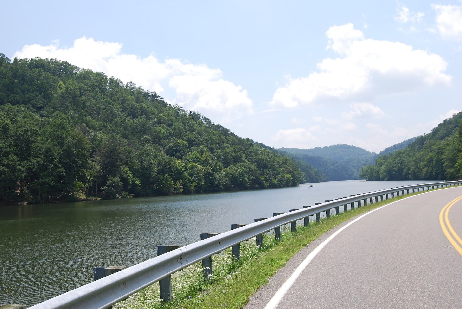
33 mi · Marion
Back of the Dragon (VA 16)
VA 16 from Marion to Tazewell: 32 miles, 438 curves and three mountain crossings. Virginia signposts and markets it as a driving road in its own right, and it earns it — switchback climbs, high open ridges and a descent that keeps going long after you expect it to end. Photo: Virginia State Parks / CC BY 2.0, via Wikimedia Commons.
 VIP Only
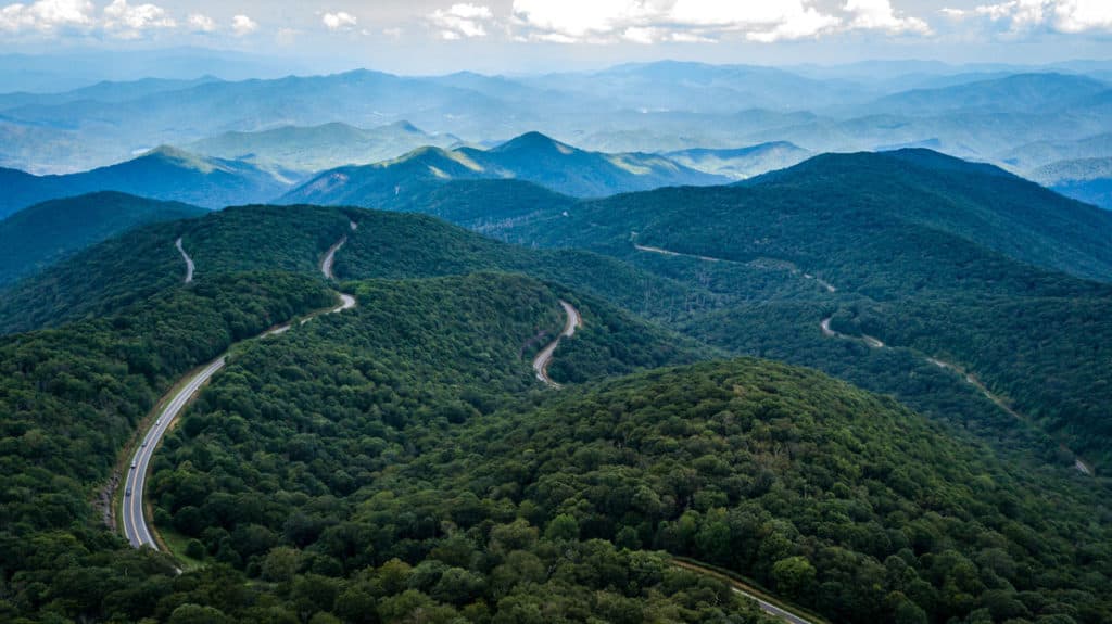
30 mi · Tellico Plains
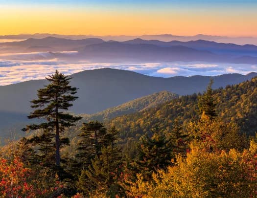
Cherohala Skyway
A stunning 43-mile National Scenic Byway connecting Tellico Plains, Tennessee, and Robbinsville, North Carolina, winding through the Cherokee and Nantahala National Forests
38 mi · Oliver Springs
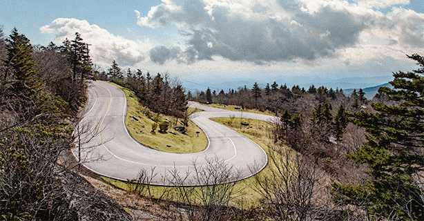
Devils Triangle TN
Devil’s Triangle is a 44-mile loop composed of TN 62, TN 116, and TN 330. Located in the mountains of the Cumberland Plateau just north of Oak Ridge, TN. Devil’s Triangle features some of the most unusual two-lane twisty roads in eastern Tennessee
26 mi · Marion
Devils Whip
North Carolina's Route 80 AKA the Devil's Whip
40 mi · Walland
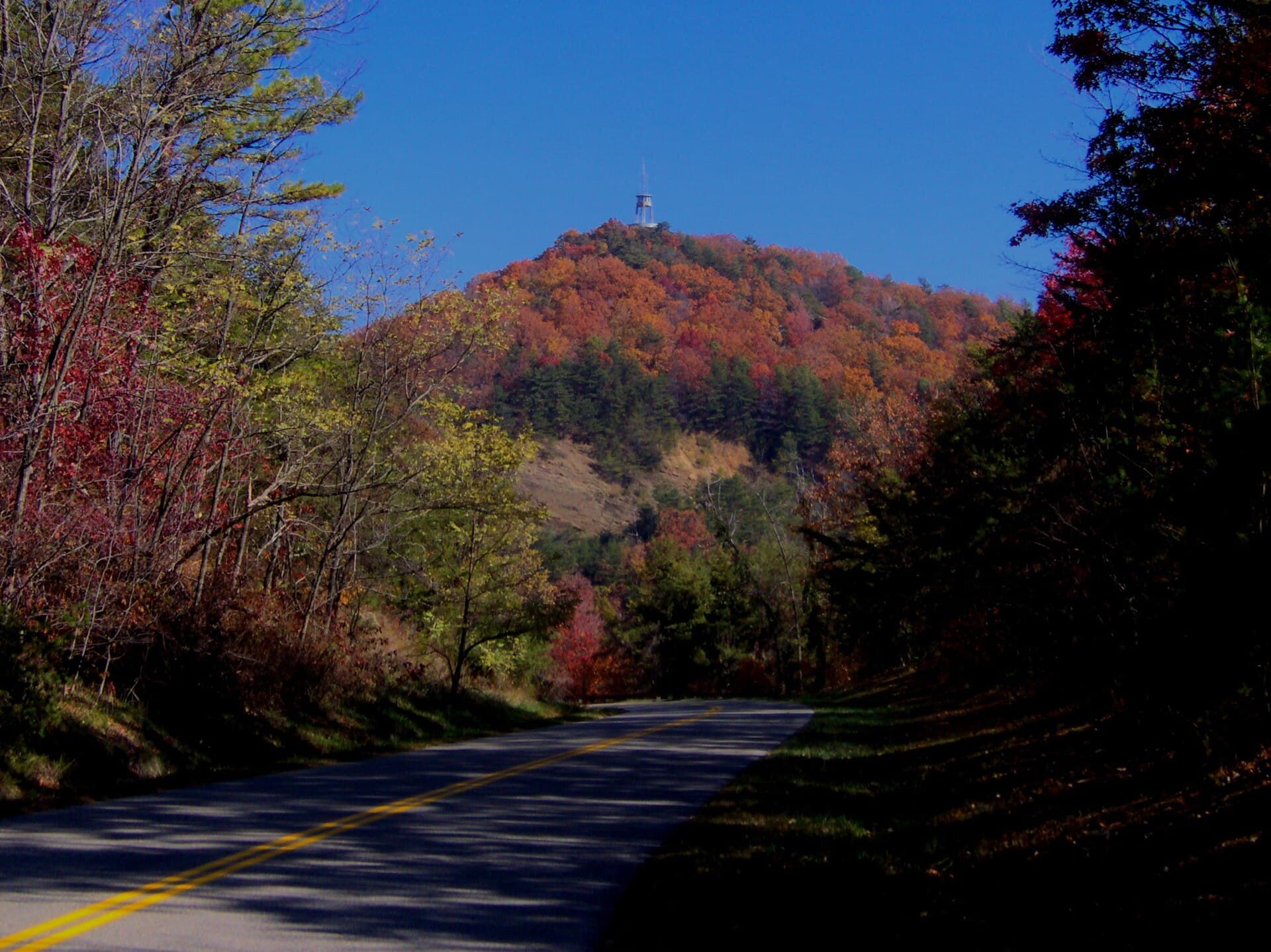
Foothills Parkway
A National Park Service parkway along the north-west edge of the Smokies, finally continuous after the "Missing Link" opened in 2018. No commercial traffic, no junctions and sweeping views across to Mount Le Conte — a fast, flowing counterpoint to the tight stuff nearby. Photo: Brian Stansberry / CC BY 3.0, via Wikimedia Commons.
19 mi · Fontana Dam
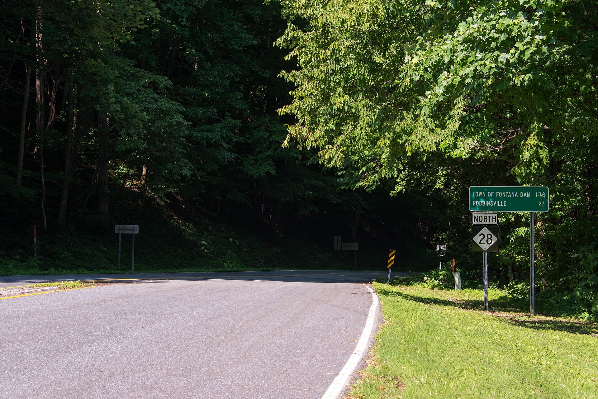
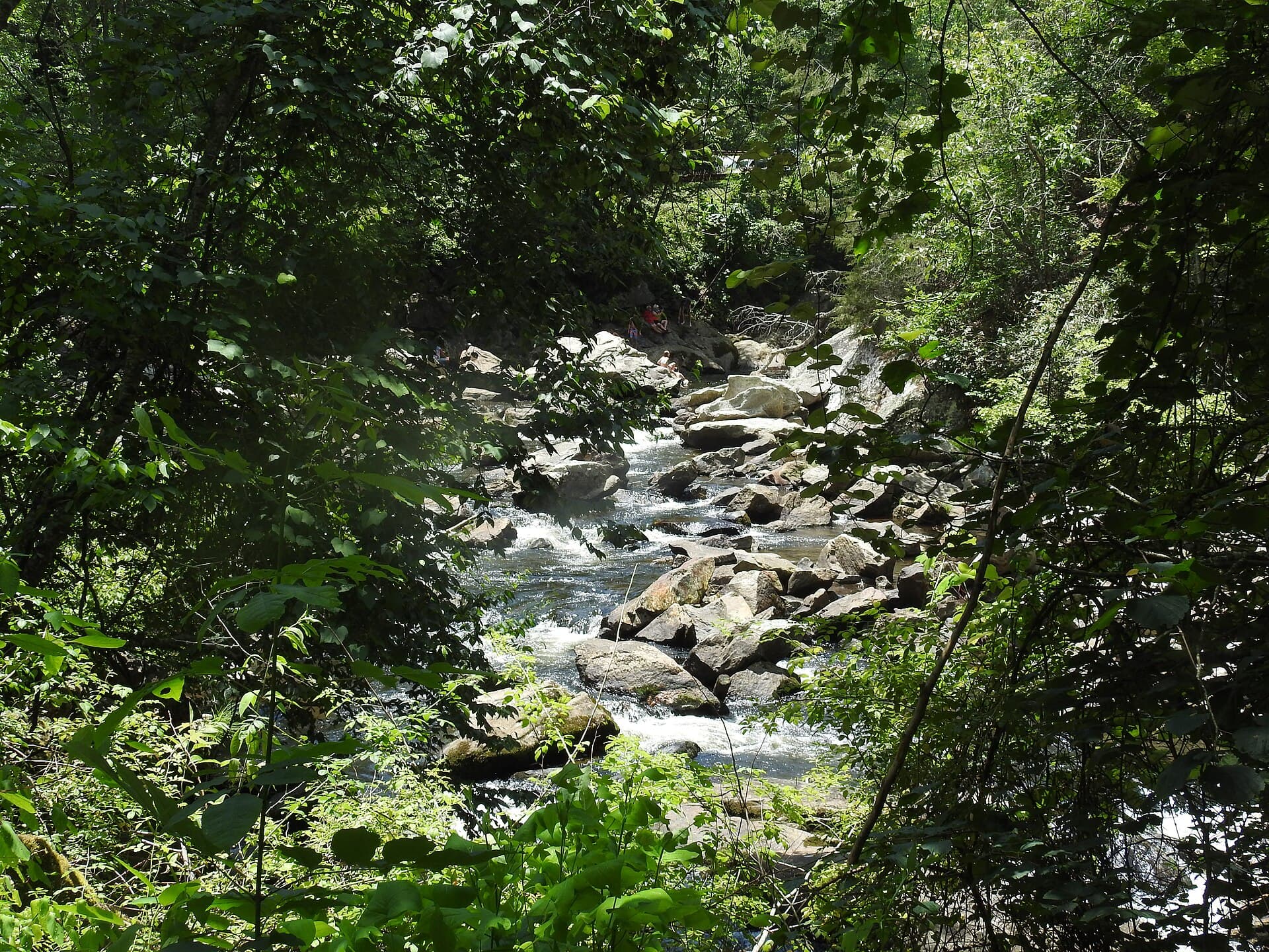
Hellbender 28
NC 28 from Deals Gap to Stecoah — the Dragon's quieter neighbour and, to a lot of locals, the better drive. Around 190 curves in 18 miles with far less traffic, running past Fontana Dam and the edge of the Nantahala. Long sightlines between the corners make it flow where the Dragon fights you. Photo: Washuotaku / CC BY-SA 4.0, via Wikimedia Commons.
76 mi · Franklin
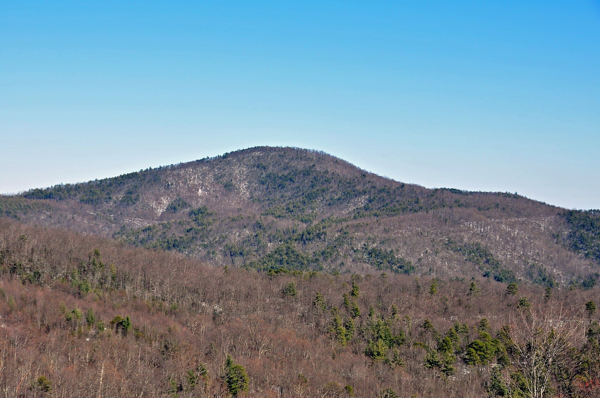
Moonshiner 28
NC 28 south from Deals Gap through Franklin toward Highlands, named for the bootleggers who used it. A long, varied run — river valley, gorge and mountain shelf — that rewards a whole day rather than a fast blast. It shares its first miles with the Hellbender before turning south. Photo: Jan Kronsell / CC BY-SA 4.0, via Wikimedia Commons.
30 mi · Morganton
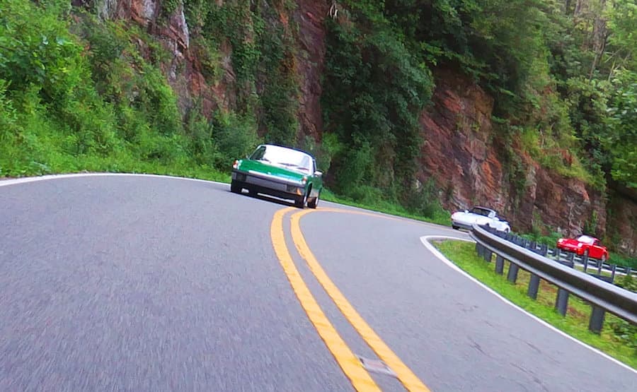
Pineola Python (NC 181)
NC 181 climbing out of Morganton to Jonas Ridge and Pineola, past the Brown Mountain overlooks and the edge of Linville Gorge. Wide, well-surfaced and fast for a mountain road, with a rhythm of long sweepers that makes it a favourite for the run up to the Blue Ridge Parkway. Photo: Mark Clifton / CC BY-SA 2.0, via Wikimedia Commons.
24 mi · Cove
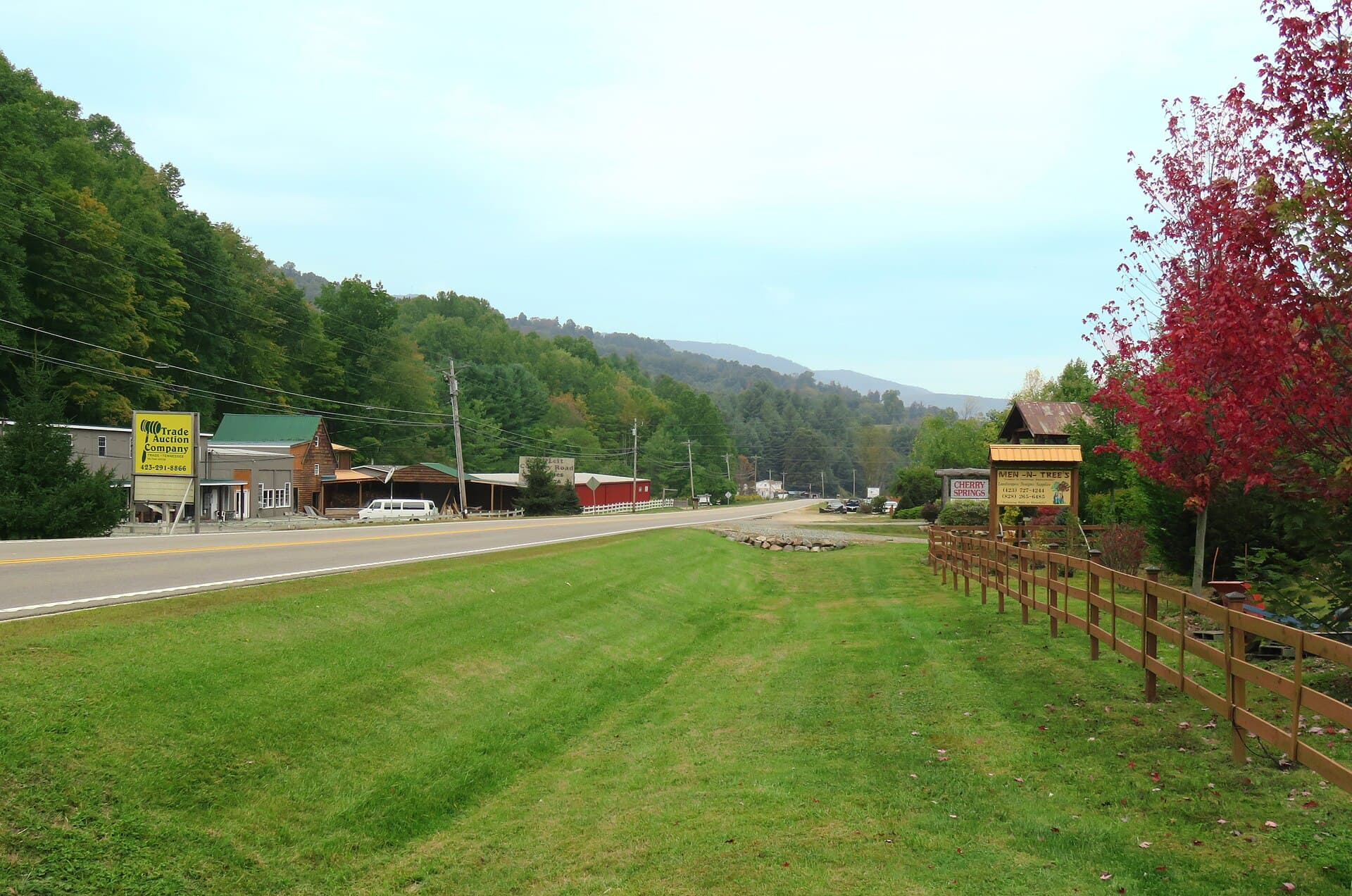
The Rattler
25 miles, 290 turns, 2-mountains
23 mi · Shady Valley
The Snake (US 421)
US 421 over Holston and Iron Mountain between Bristol and Mountain City — 489 curves and three mountains, and the reason Shady Valley has a motorcycle shop and not much else. Tight, steep and relentless; the middle section rarely lets you out of second and third. Photo: Brian Stansberry / CC BY 3.0, via Wikimedia Commons.