ROAD & RALLY · LIVE
Drive the
best roads.
The ultimate cruise and rally event app. Curated drives, hosted rallies, and a community of drivers — wherever the road goes.
Routes Live
—
Events
—
Editor's Picks
Hand-picked drives.
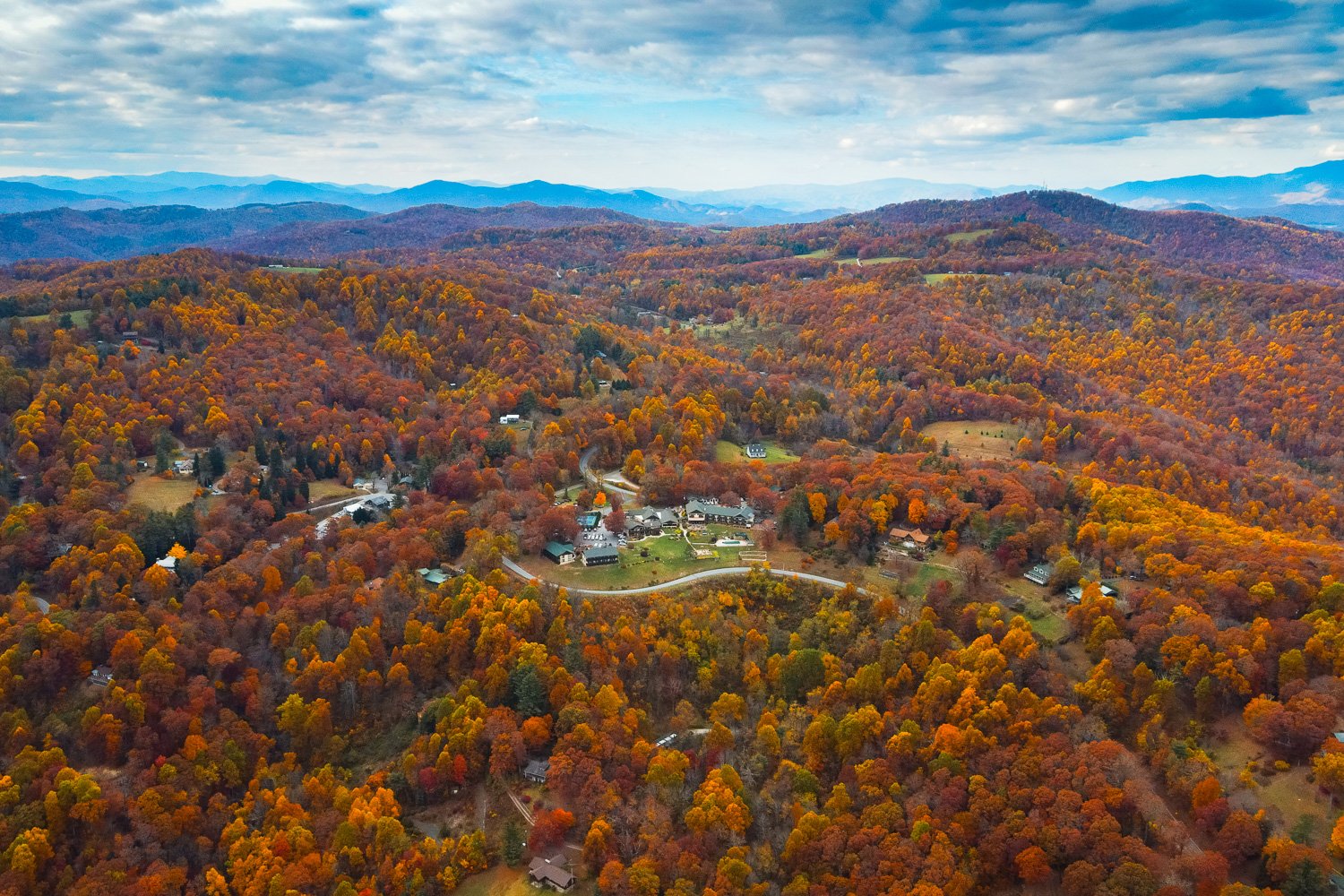 Editor's Pick
9 mi · Little Switzerland
Diamond Back Loop
Densely wooded trek, from Marion in McDowell County to Little Switzerland, on the edge of Mitchell County, NC at Milepost 334.
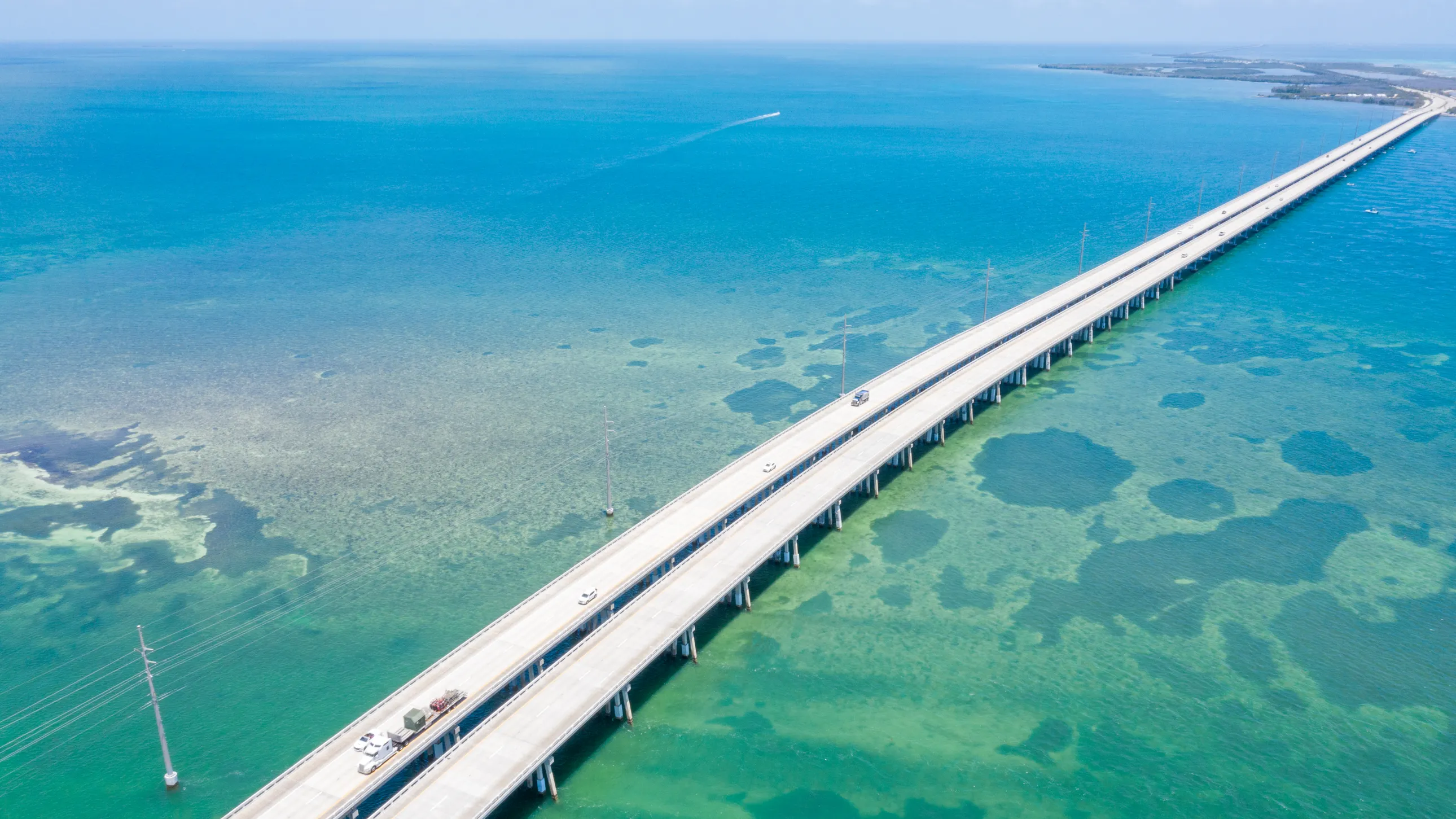 Editor's Pick
117 mi · Homestead
Homestead to Key West
Head South out of Homestead, FL, to Key West.
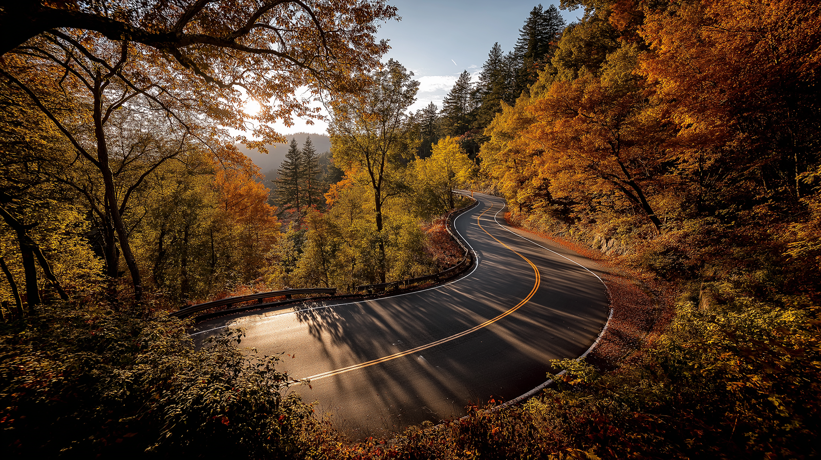 Editor's Pick
11 mi · Tallassee
Tail of the Dragon
Winding along US 129 where the Great Smoky Mountains meet the Cherokee National Forest, this iconic stretch offers a pure driving experience: no intersections—just you and the road.
Build & Share
Your favorite road,
on the map.
Sketch a drive on the map, drop checkpoints by clicking or searching addresses, pin photos to each stop, then share a public link. Free to make. Yours forever.
- Draw checkpoints on a real map
- Search addresses or drop pins
- Upload photos per stop
- Import a GPX you already have
- Auto-snap to real roads
- One-click public share link
Free · Sign in with Google
Start · Deals Gap, NC
35.4677, −83.9275
14.5 mi · 318 curves · 35m
Everything in the box
One app, end to end.
Find the roads and build the route. Get every corner called before you reach it, time the run, and watch it back. Set a trap on your favourite bend, bring the club, and host the meet — every part of a great drive, in Road & Rally.
Pace notes
Every corner called out before you reach it, rally-style — in plain English or the 1–6 scale. The road ahead is colour-coded by how hard each corner is.
Turn-by-turn navigation
Voice-guided, road-snapped directions through every checkpoint.
Live cruise map
See nearby drivers move in real time and drop into the action.
Drive tracking & replay
Speed, lateral g, elevation and distance on every run — then watch the drive back as a speed-coloured replay.
Read more →
Drag timer
0–60 and 60–130, timed off GPS and interpolated between fixes. Or roll it: hold 60 for three seconds and go.
Read more →
GPX & Google Maps export
Take any route with you — download it as GPX for your Garmin or GoPro, or open it straight in Google Maps.
Read more →
Speed markers
Drop a marker on a road, or set a club trap. Drive past and your speed through it is logged to the board.
Read more →
Clubs & leaderboards
Build a crew with its own feed, routes and speed traps — and rank on distance, top speed, max g and elevation.
Read more →
E85 station finder
Flex-fuel stations plotted on the map from live NREL data, with one tap to navigate.
Read more →
Apple CarPlay
Native nav, route start and convoy view right on the dash.
Shop the gear