Distance
33 mi
Duration
1h 1m
Checkpoints
2
Road type
Mountain twisty
Region
Mid-Atlantic
Length
Medium (20-50 miles)
Surface
Paved - modern
Intensity
Technical
Season
Fall
Winter status
Sometimes closed
About
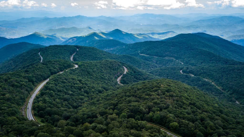
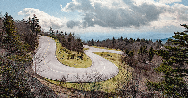
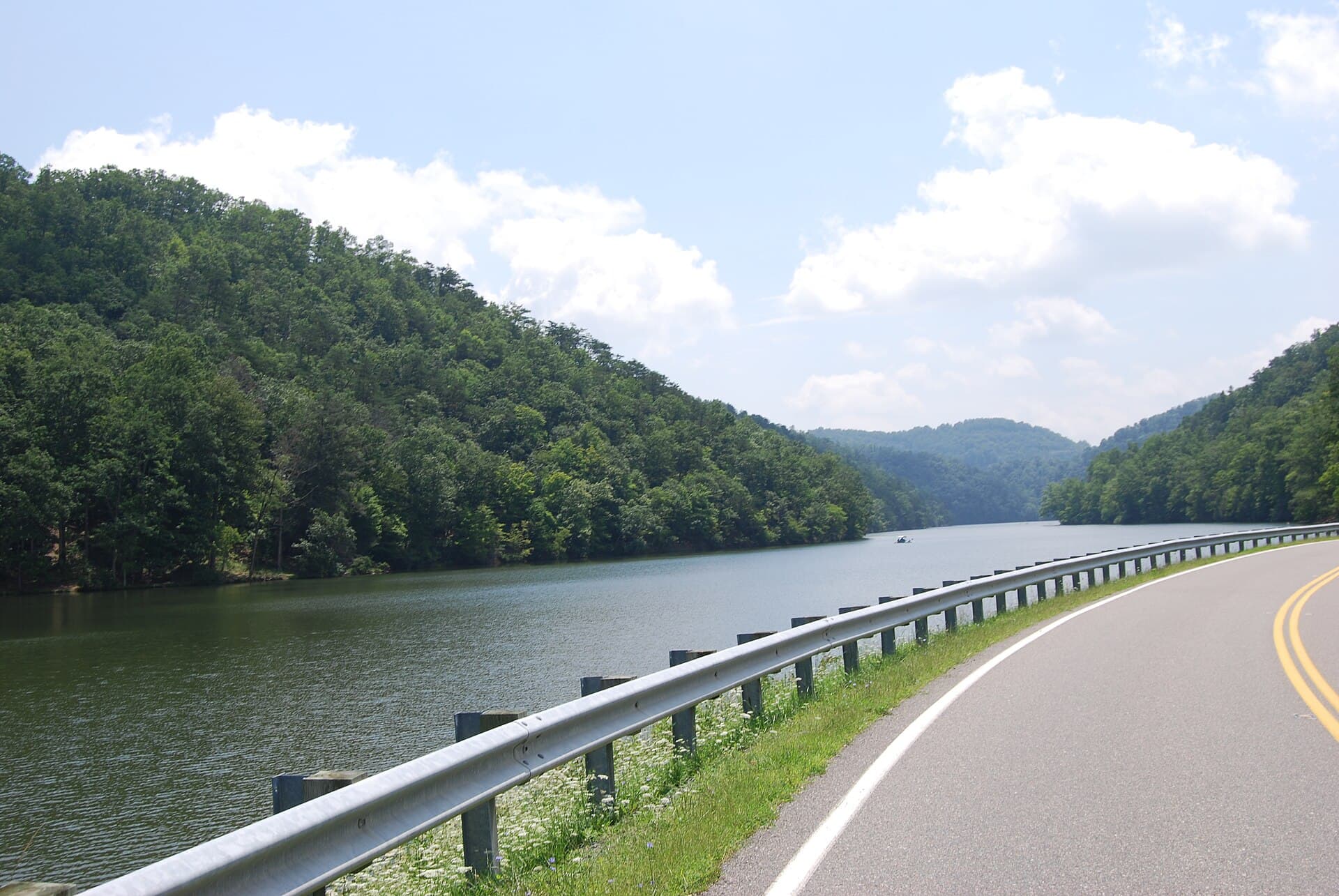
VA 16 from Marion to Tazewell: 32 miles, 438 curves and three mountain crossings. Virginia signposts and markets it as a driving road in its own right, and it earns it — switchback climbs, high open ridges and a descent that keeps going long after you expect it to end. Photo: Virginia State Parks / CC BY 2.0, via Wikimedia Commons.
The road
Back of the Dragon (VA 16) in Marion, Mid-Atlantic is graded at 315 corners, about 9.6 for every mile you drive. 90 of them are genuinely tight (29% of the road), and the sharpest turns in at a 12 m radius. The longest straight runs 1.2 miles, so there is room to breathe between the technical sections.
- Graded corners
- 315
- Tight (1–2)
- 90
- Tightest radius
- 12 m
- Corners per mile
- 9.6
Corners are graded from the road’s own geometry on the rally 1–6 scale, where 1 is a hairpin. Road & Rally calls them out as you drive.
Checkpoints
2
Checkpoints · Members only
Sign in to see the route in detail
Get every stop's address, type, and notes — plus turn-by-turn navigation when you drive this route in the app.
Sign in →2 stops hidden · Free with an account
Fastest times
No one has a time on this road yet. Drive it start to finish in the Road & Rally app and the first run sets the record.
Related
More from Appalachian Legends