Distance
40 mi
Duration
60m
Checkpoints
2
Road type
Mountain scenic
Region
Southeast
Length
Medium (20-50 miles)
Surface
Paved - modern
Intensity
Moderate
Season
Fall
Winter status
Sometimes closed
About
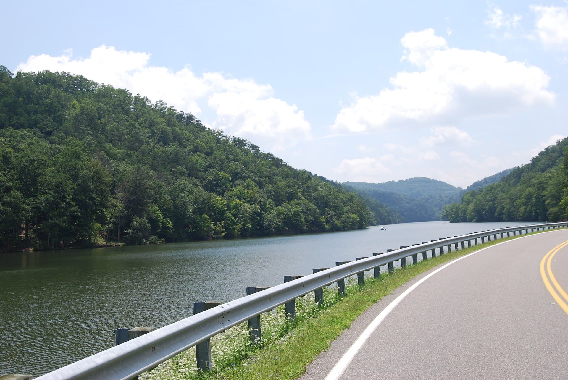
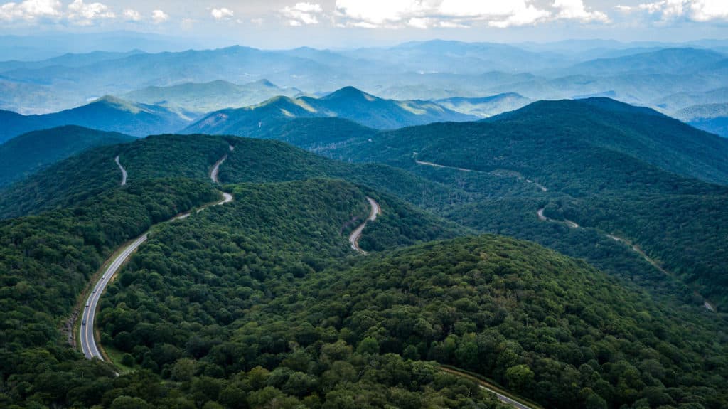
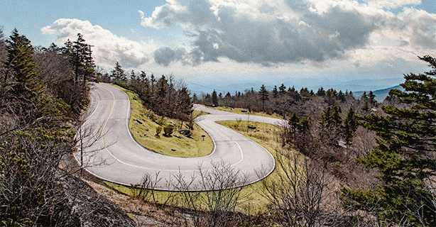
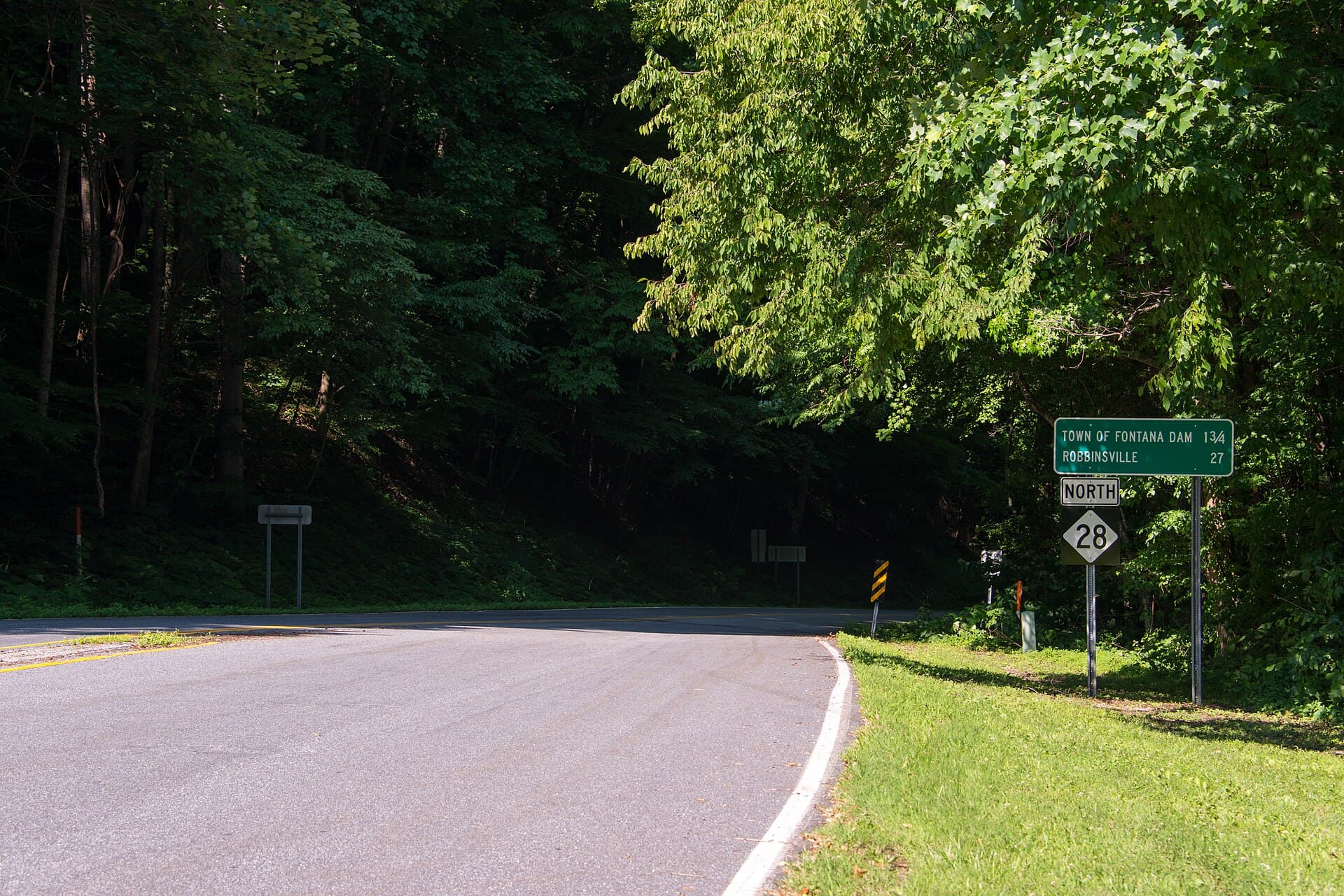
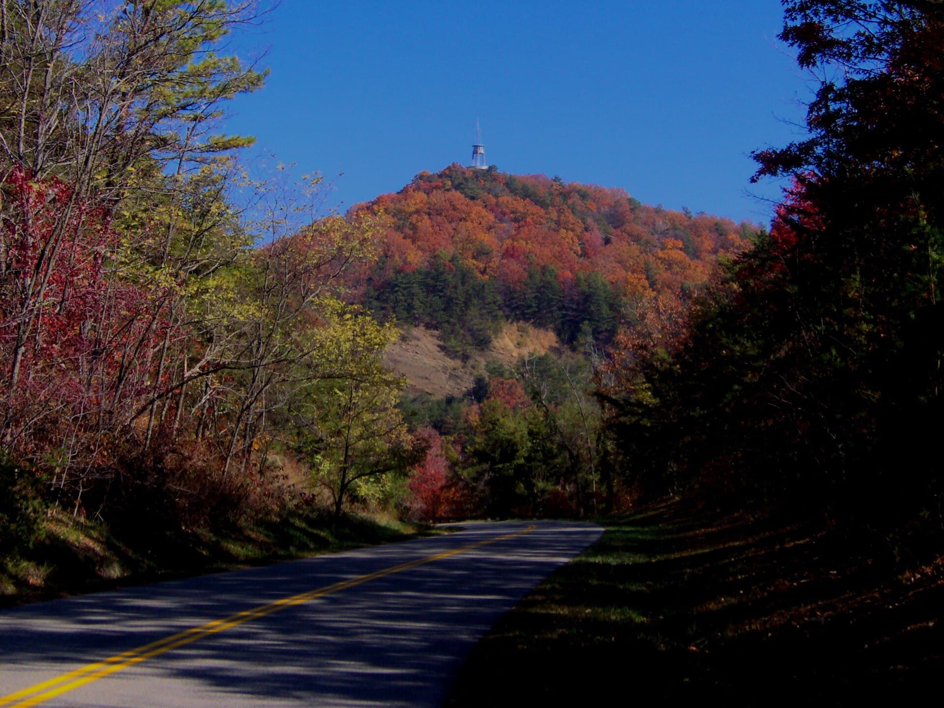
A National Park Service parkway along the north-west edge of the Smokies, finally continuous after the "Missing Link" opened in 2018. No commercial traffic, no junctions and sweeping views across to Mount Le Conte — a fast, flowing counterpoint to the tight stuff nearby. Photo: Brian Stansberry / CC BY 3.0, via Wikimedia Commons.
Checkpoints
2
Checkpoints · Members only
Sign in to see the route in detail
Get every stop's address, type, and notes — plus turn-by-turn navigation when you drive this route in the app.
Sign in →2 stops hidden · Free with an account
Related
More from Appalachian Legends