

Distance
38 mi
Duration
1h 17m
Checkpoints
8
Road type
Mountain twisty
Region
Southeast
Length
Medium (20-50 miles)
Surface
Paved - modern
Intensity
Spirited
Season
Fall
Winter status
Open year-round
About
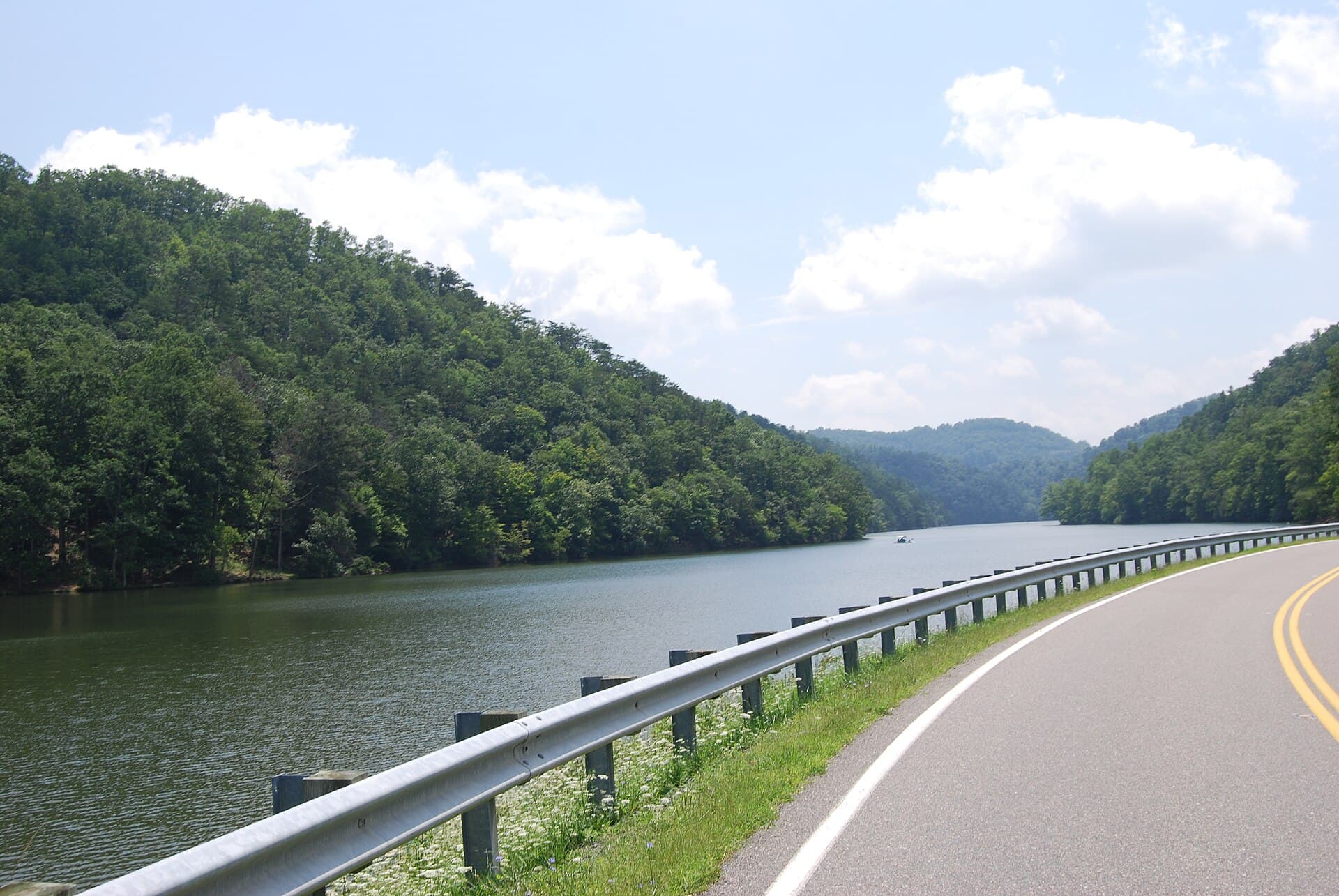
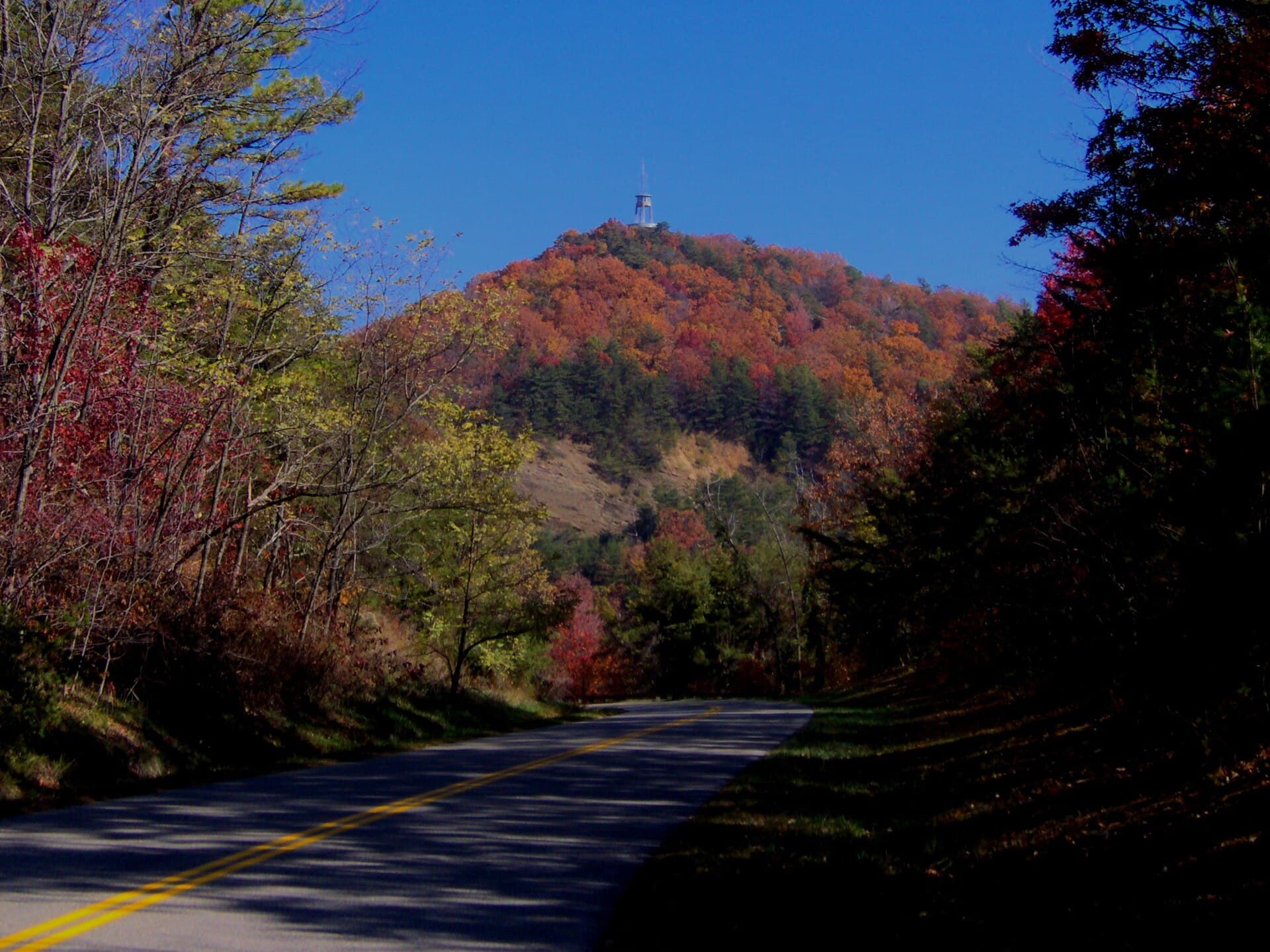
Devil’s Triangle is a 44-mile loop composed of TN 62, TN 116, and TN 330. Located in the mountains of the Cumberland Plateau just north of Oak Ridge, TN. Devil’s Triangle features some of the most unusual two-lane twisty roads in eastern Tennessee
The road
Devils Triangle TN in Oliver Springs, Southeast is graded at 554 corners, about 14.5 for every mile you drive. 89 of them are genuinely tight (16% of the road), and the sharpest turns in at a 9 m radius. The longest straight runs 1.8 miles, so there is room to breathe between the technical sections.
- Graded corners
- 554
- Tight (1–2)
- 89
- Tightest radius
- 9 m
- Corners per mile
- 14.5
Corners are graded from the road’s own geometry on the rally 1–6 scale, where 1 is a hairpin. Road & Rally calls them out as you drive.
Checkpoints
8
Checkpoints · Members only
Sign in to see the route in detail
Get every stop's address, type, and notes — plus turn-by-turn navigation when you drive this route in the app.
Sign in →8 stops hidden · Free with an account
Fastest times
2:11:40
The fastest completed run, out of 1 driverwith a time on this road. See the whole board — and put your own time on it — in the Road & Rally app.
Related
More from Appalachian Legends
Related
More drives in Tennessee