
Distance
278 mi
Duration
7h 43m
Checkpoints
7
Road type
Desert / open
Region
Pacific Northwest
Length
Day trip (100+ miles)
Surface
Paved - modern
Intensity
Moderate
Season
Summer
Winter status
Sometimes closed
About
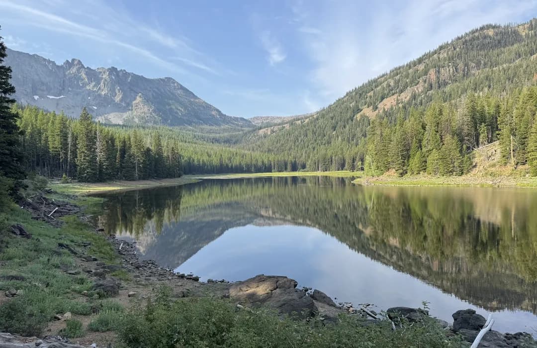
Along this route you will find river canyons, rolling hill, farmlands and the Mountains.
The road
Malheur Loop in Vale, Pacific Northwest is graded at 1,307 corners, about 4.7 for every mile you drive. 82 of them are genuinely tight, and the sharpest turns in at a 12 m radius. The longest straight runs 18.3 miles, so there is room to breathe between the technical sections.
- Graded corners
- 1,307
- Tight (1–2)
- 82
- Tightest radius
- 12 m
- Corners per mile
- 4.7
Corners are graded from the road’s own geometry on the rally 1–6 scale, where 1 is a hairpin. Road & Rally calls them out as you drive.
Checkpoints
7
Checkpoints · Members only
Sign in to see the route in detail
Get every stop's address, type, and notes — plus turn-by-turn navigation when you drive this route in the app.
Sign in →7 stops hidden · Free with an account
Fastest times
No one has a time on this road yet. Drive it start to finish in the Road & Rally app and the first run sets the record.